A day in the life of a VRWREP field ecologist
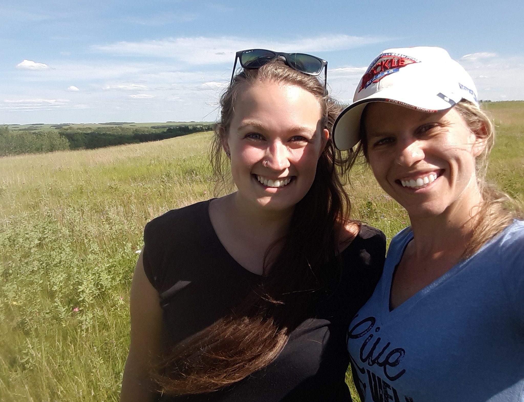
By Brittany Jackson, NSWA field technician
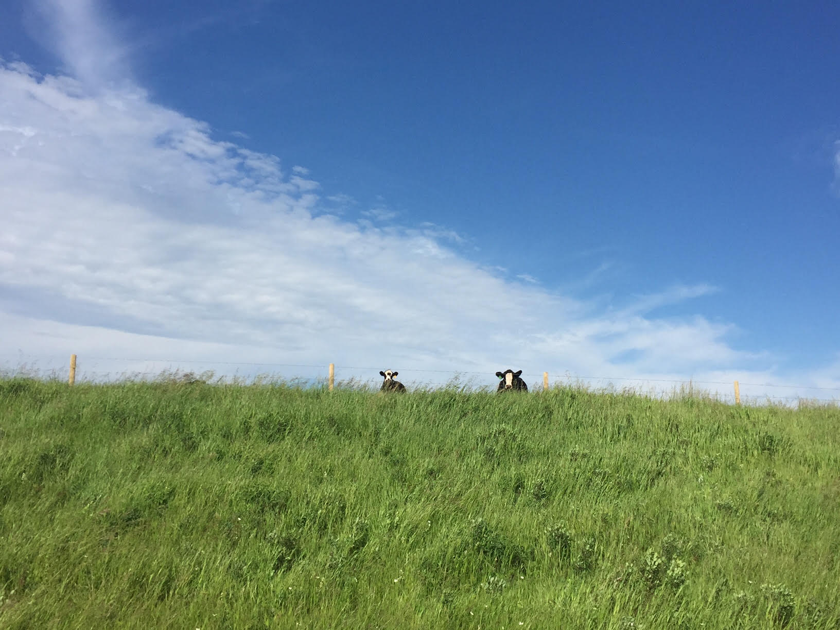
Each day starts with a fresh cup of coffee and an early morning drive to a project location somewhere within the Vermilion River Watershed. Upon arrival, a safety briefing identifies any hazards we might run into throughout the day including livestock or other wildlife, barbed or electric fences, uneven ground, and open water.
With funding from both the provincial and federal governments, the North Saskatchewan Watershed Alliance (NSWA) and the Vermilion River Watershed Alliance (VRWA) are working with landowners to enhance or restore wetlands and riparian areas on their land (check out this video to learn more). As part of the project, the riparian vegetation and overall ecosystem health are assessed both before and after restoration activities have been completed.
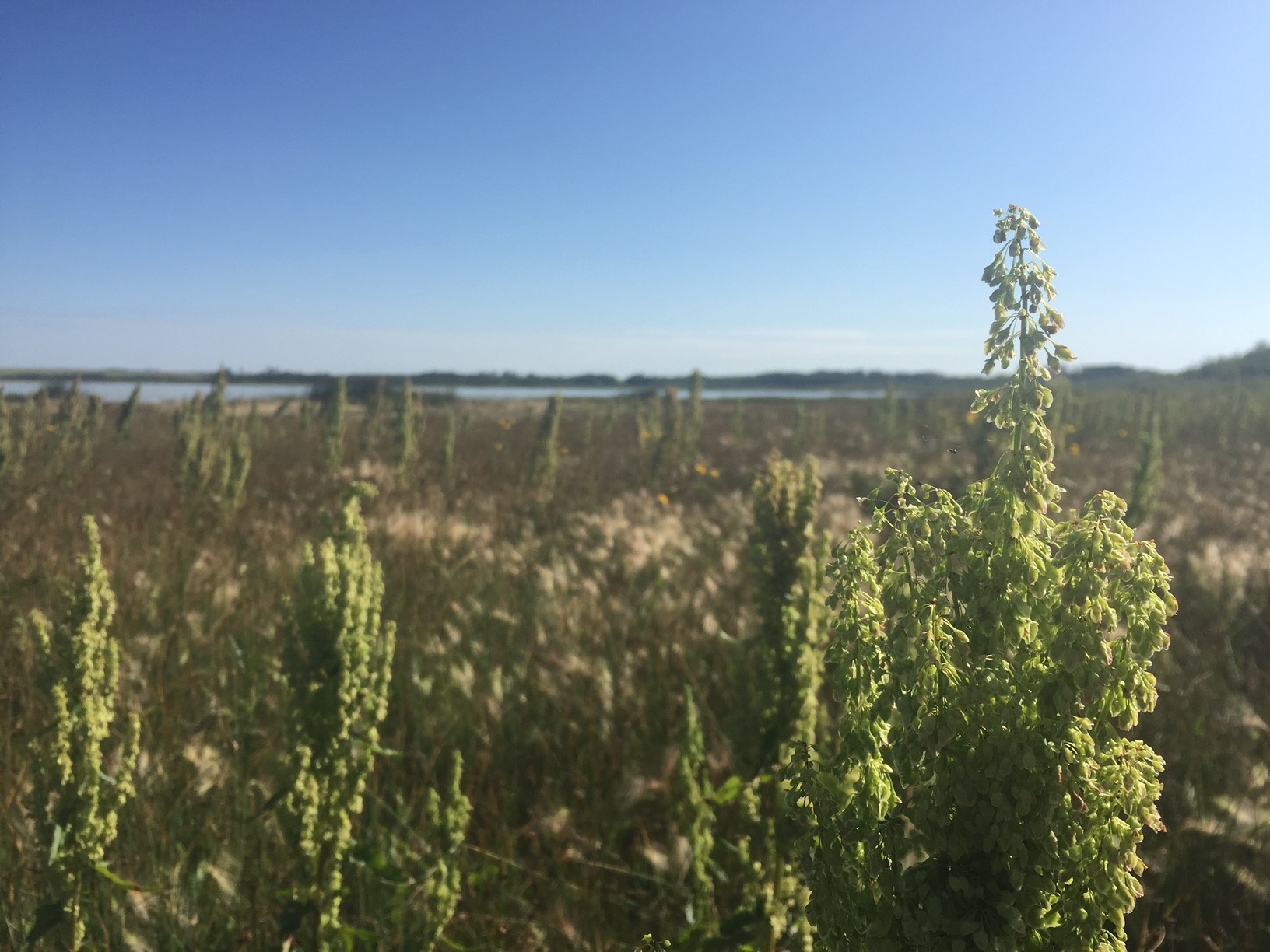
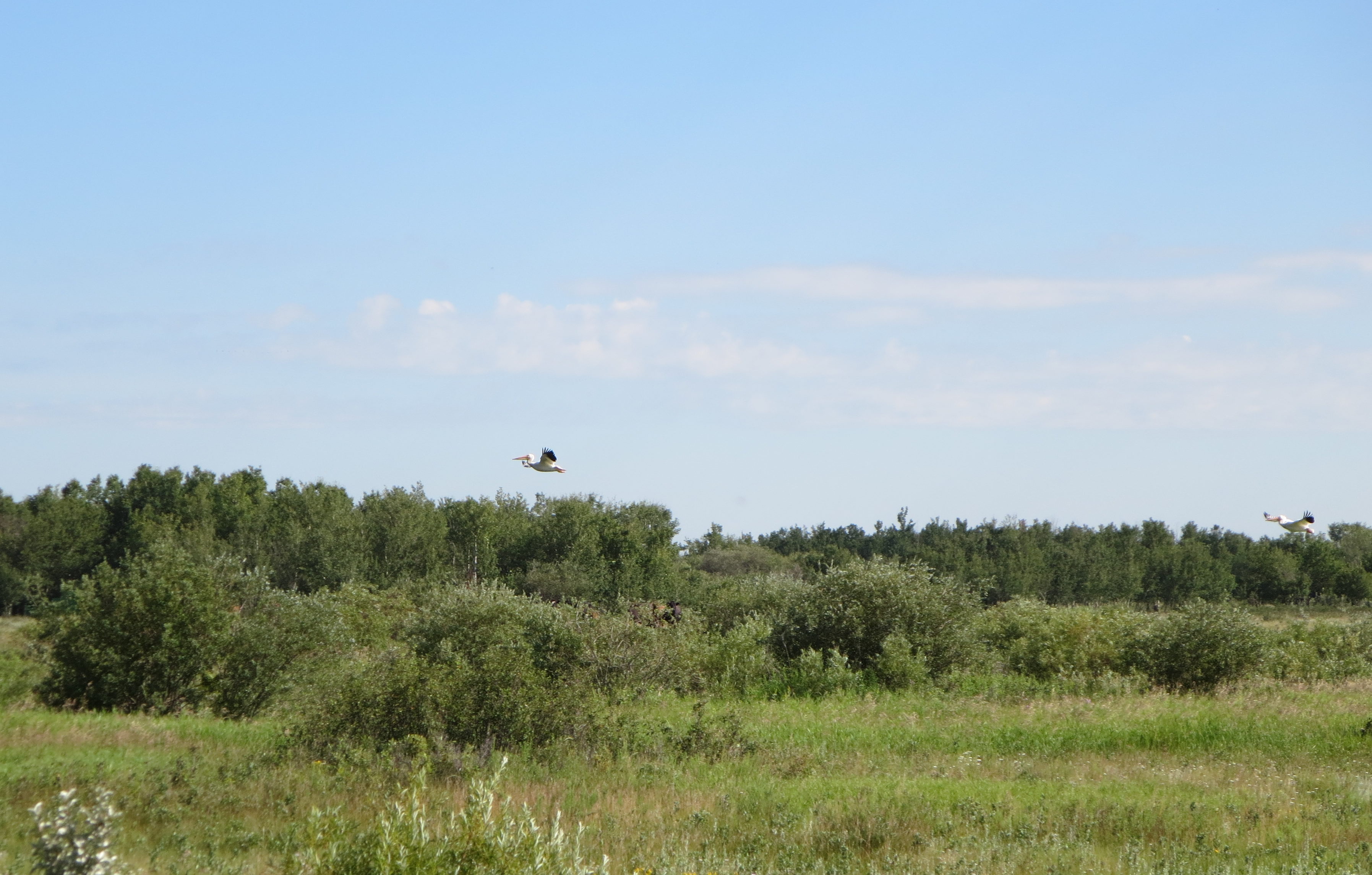
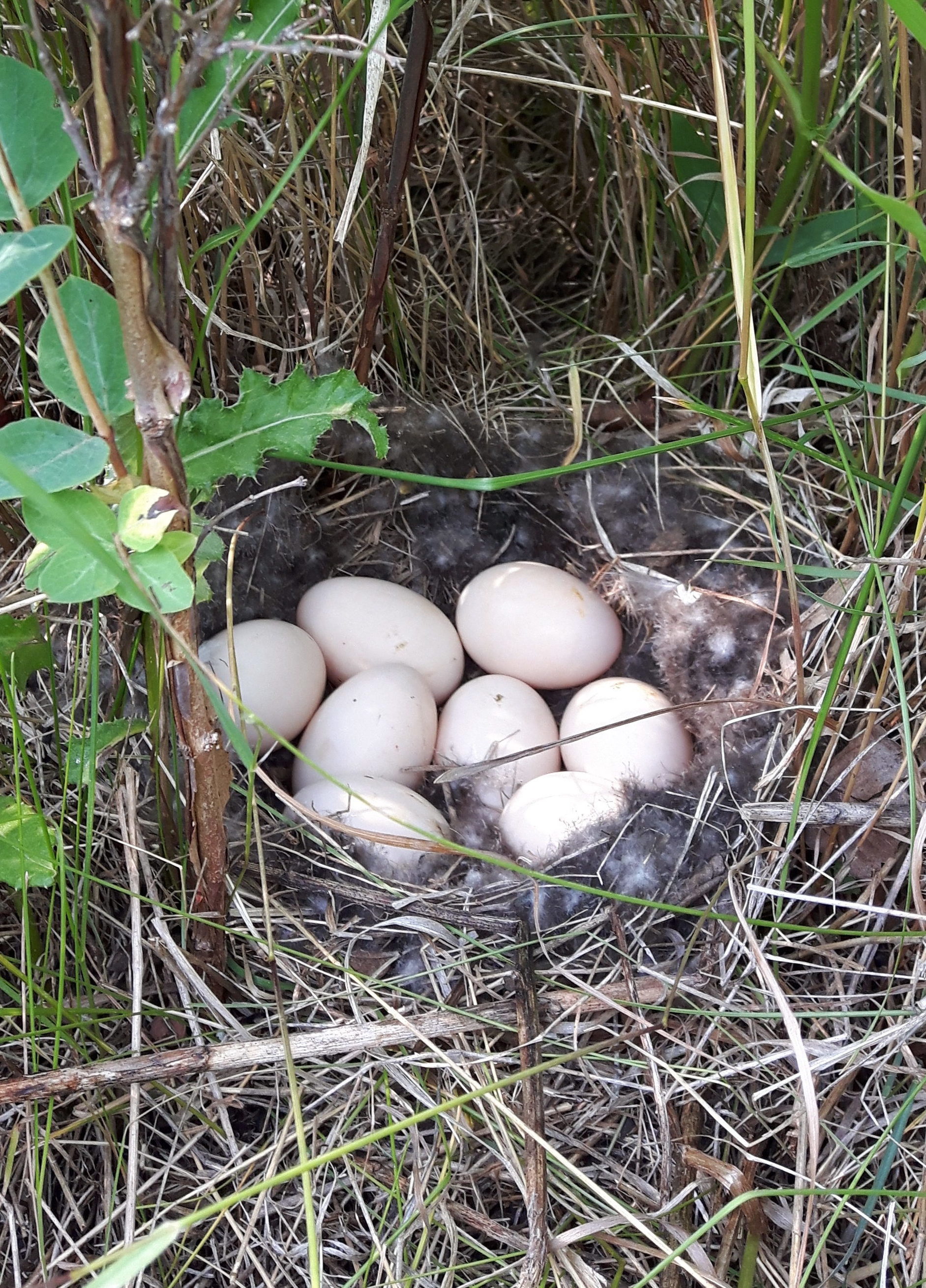
With our rubber boots on and our field guides in hand, we start the assessment by first walking around the entire site, which allows us to observe the general vegetation community and any physical disturbances. We record any wildlife sightings or signs (e.g. vocalizations, prints, scat, nests) and take note of other site characteristics such as livestock on site, dugouts, bare ground patches, and trails. Berry patches and uncommon wildflowers are also noteworthy.
Once we have documented general site observations, we take a closer look at the vegetation using quadrat sampling along transects. The number of 1m x 1m quadrats and the number of transects per site is determined by both the size of the site as well as the complexity of the vegetation community. For example, a project located in the middle of a canola field might only require one transect containing one quadrat, while a project located on a large wetland with native pasture and treed portions may require four transects, each containing multiple quadrats.
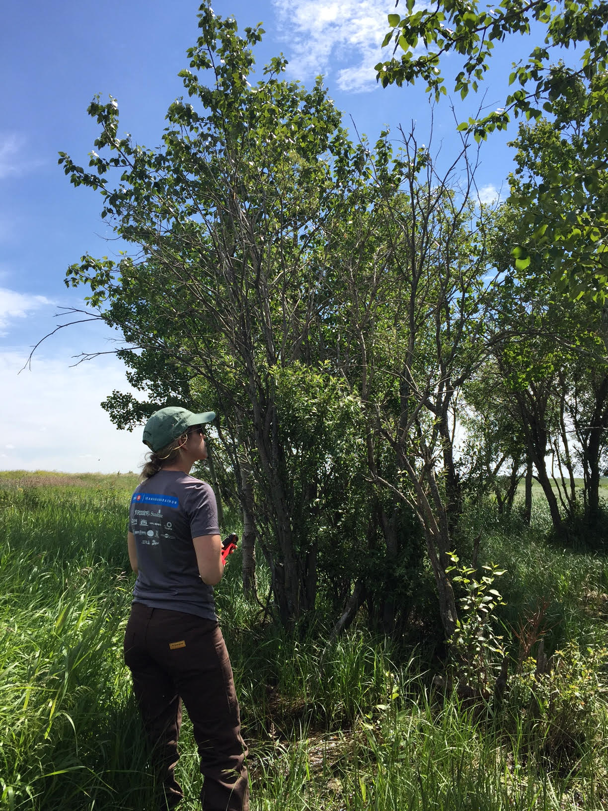
Within each quadrat, we record what species are present, group them into general categories (shrubs, forbs, grasses, and invasive species) and estimate the percent of each category present. Documenting the type and general cover or density of vegetation can serve as a proxy for site disturbance, which in turn helps us to determine the health of the ecosystem and identify ways in which the system can be improved.
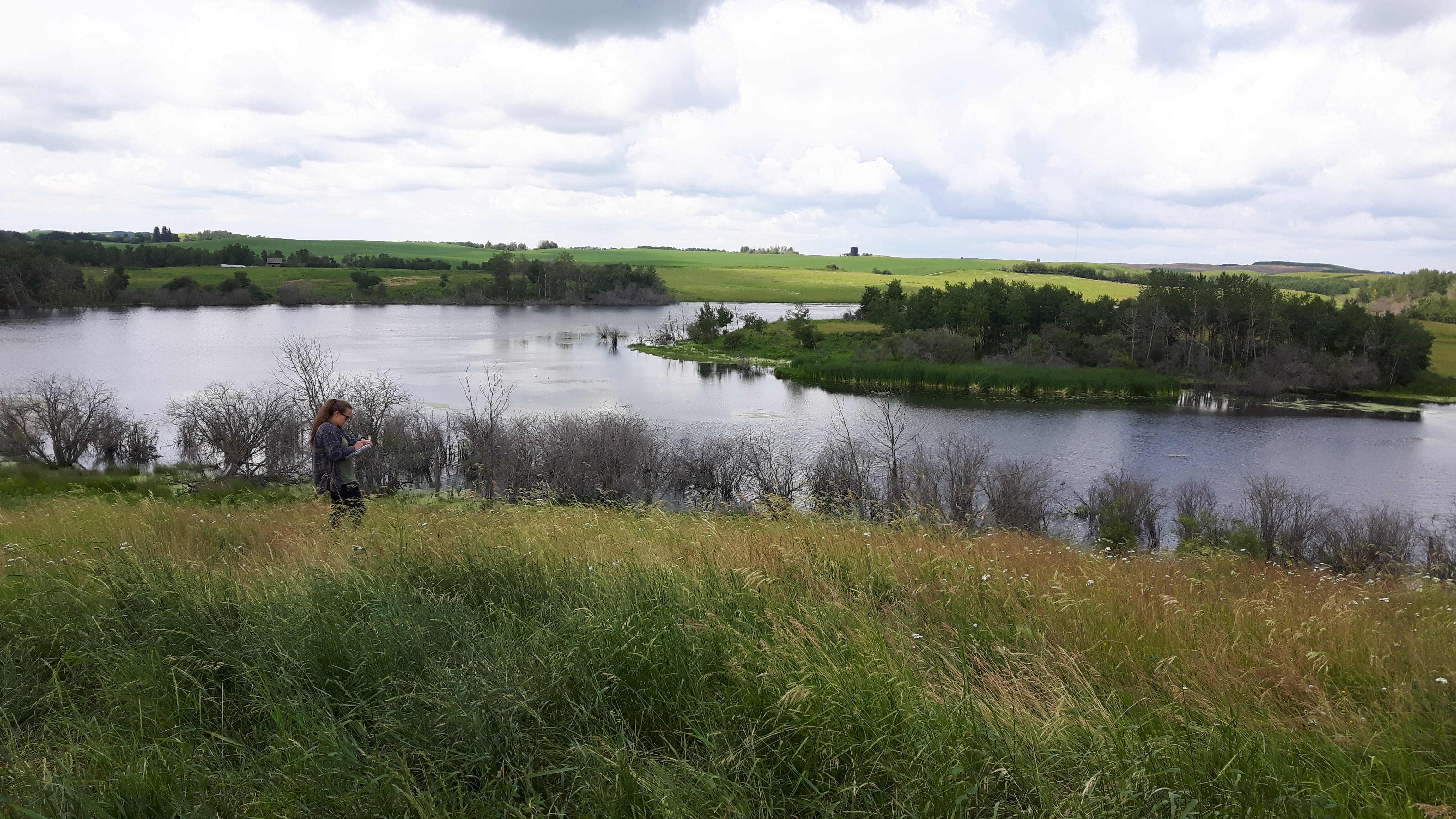
Next, we conduct a riparian health assessment for either a flowing water (lotic) or still water (lentic) system. The riparian health assessment is a point-based survey used commonly by the non-profit organization Cows and Fish where points are deducted for certain unhealthy or ecologically undesirable traits. In general, the assessment takes into consideration both native and non-native vegetation, invasive species, and human and livestock alteration in the area and results in a health score of either “Non-functional”, “Functional at Risk”, or “Proper functioning condition”. These results help to determine where improvements can be made to increase the health of the ecosystem. They also provide baseline data and a framework that can be used to see if the ecosystem is improving over time, especially after the implementation of a best management practice.
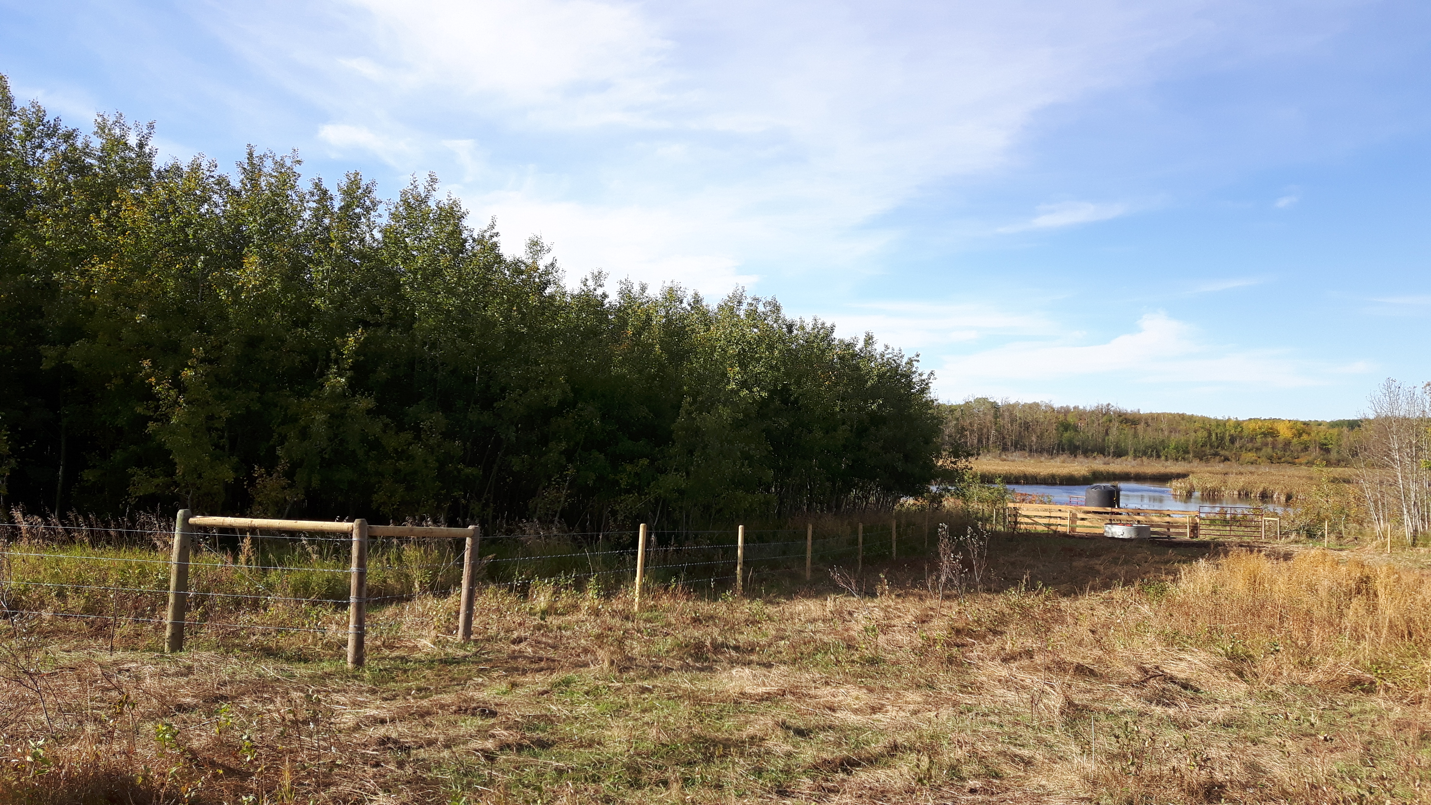
A year after the completion of the restoration project, we return to the site to re-assess the site. Although in most cases it will take many years to observe sizeable changes in the ecosystem health after a management change is implemented, many small changes are noticeable after one year. For example, excluding cattle from entering a wetland for even a single year may allow willow saplings to properly establish and bare ground patches to be vegetated. Over multiple years, these processes will continue, with the eventual goal of attaining a site rating of “proper functioning condition”.
***